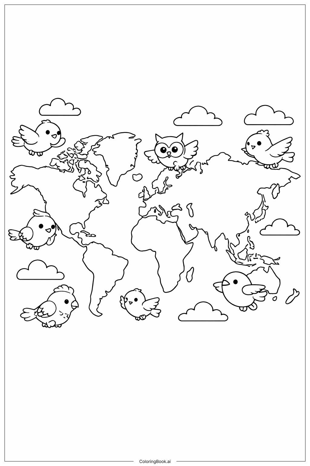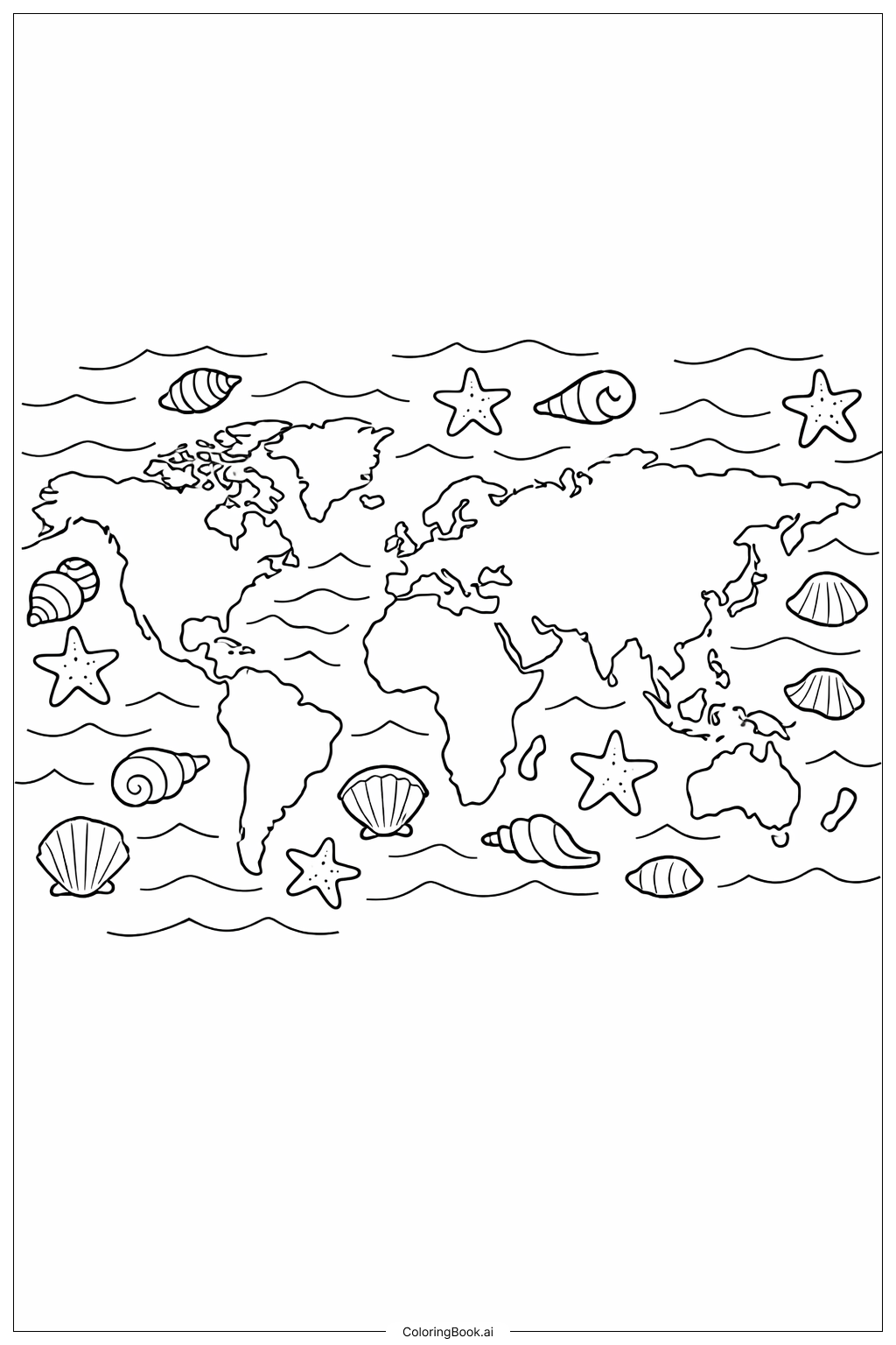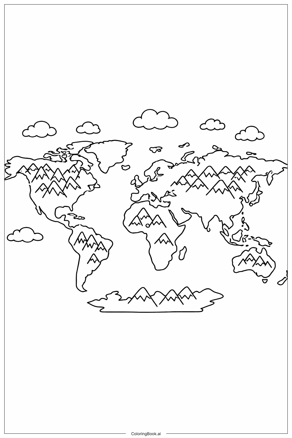
Coloring tips: How to color World Map with Big Countries coloring page well?
Use bright and different colors for each continent to make the map lively and easy to understand. For example, color North America in blue, South America in green, Africa in yellow, Europe in orange, Asia in red, and Australia in purple. You can also add shades to show mountains or forests if you like. Try to stay inside the lines to help improve fine motor skills. It’s fun to learn the names of countries and continents while coloring, so you can label them as you paint!
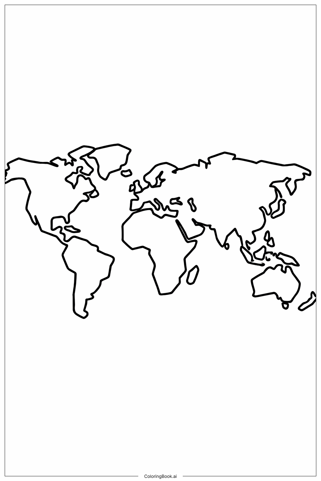
Coloring challenges: Which parts are difficult to color and need attention for World Map with Big Countries coloring page?
1. Some countries have unusual or complex shapes which can be hard to color neatly, especially around jagged coastlines.
2. The map size means children need to pay attention to small spaces between countries to avoid coloring outside.
3. Limited detail means it may be hard to recognize smaller countries or islands, causing confusion.
4. Keeping color consistency to separate different continents without mixing colors may require focus.
5. Younger children might find it challenging to use light colors without missing spots or using too much pressure.
Benefits of coloring books: Advantages of drawing World Map with Big Countries coloring page
Coloring this map improves knowledge of world geography and helps children recognize the shapes and locations of big countries. It enhances hand-eye coordination and fine motor skills. The activity encourages creativity and concentration as children choose colors and try to stay inside the lines. It also boosts memory by linking colors with countries and continents. Overall, it makes learning about the world fun and interactive.