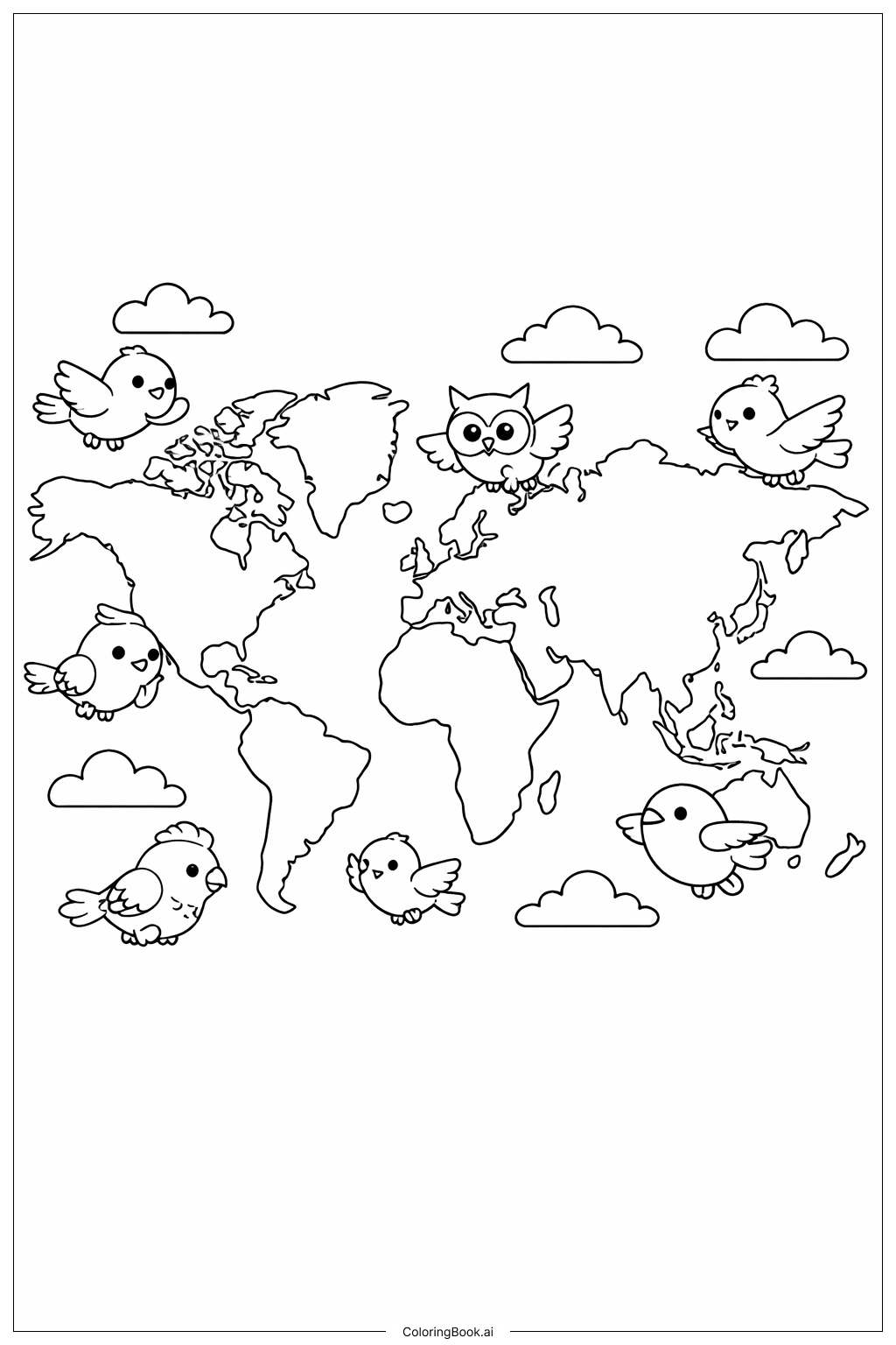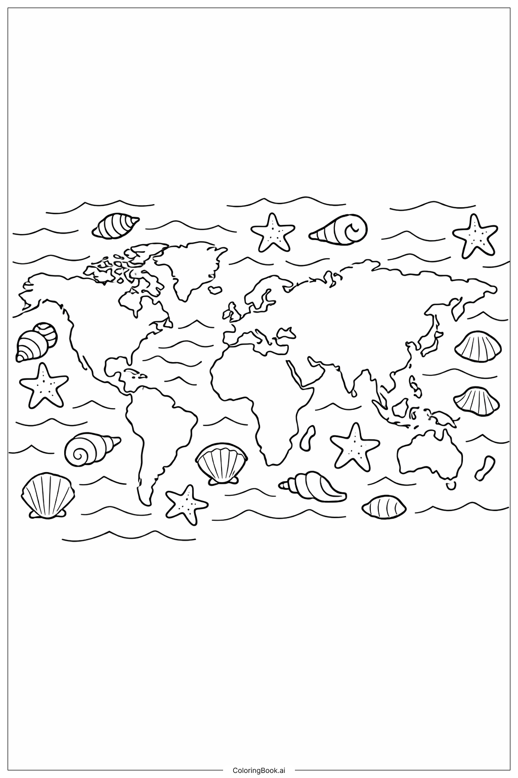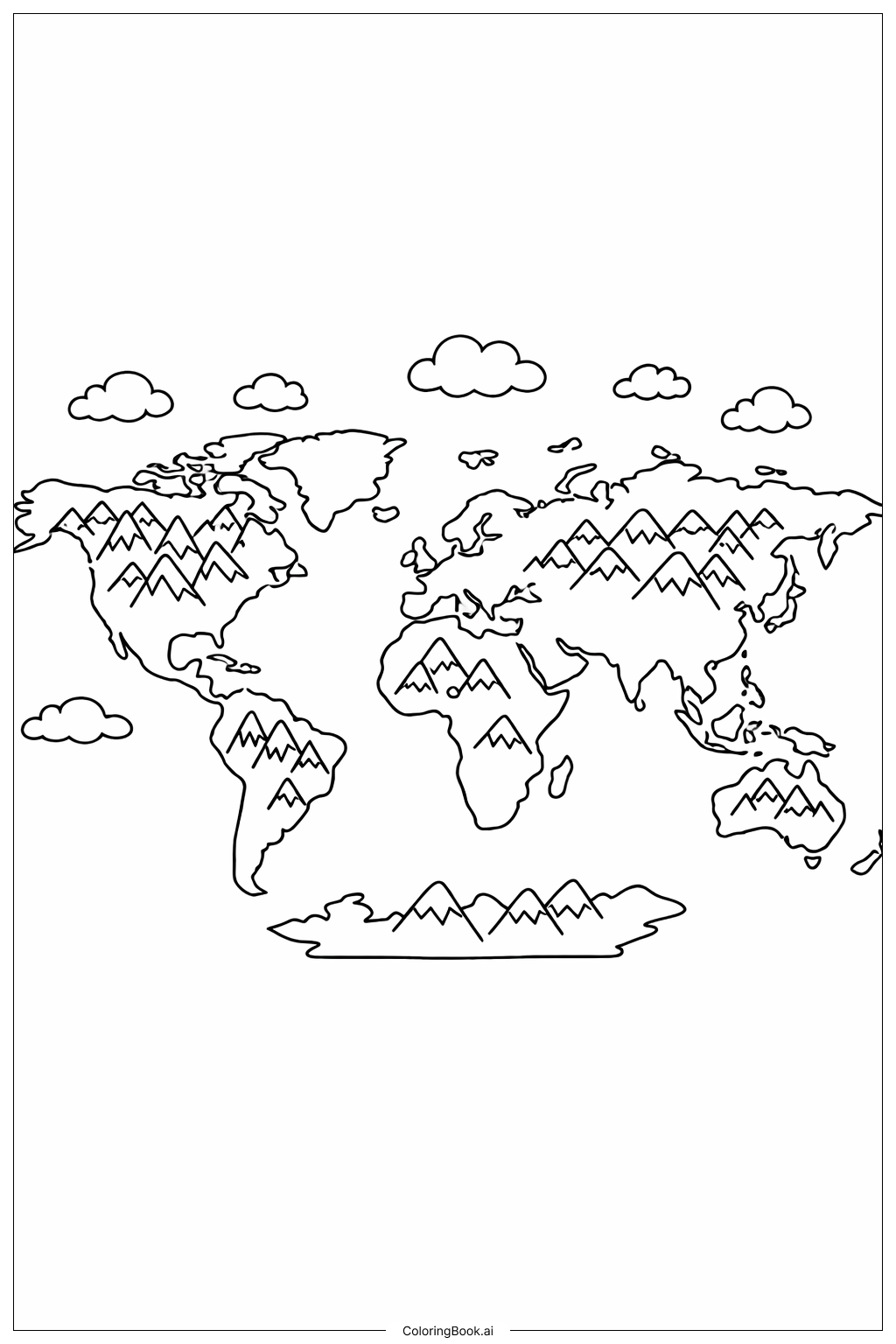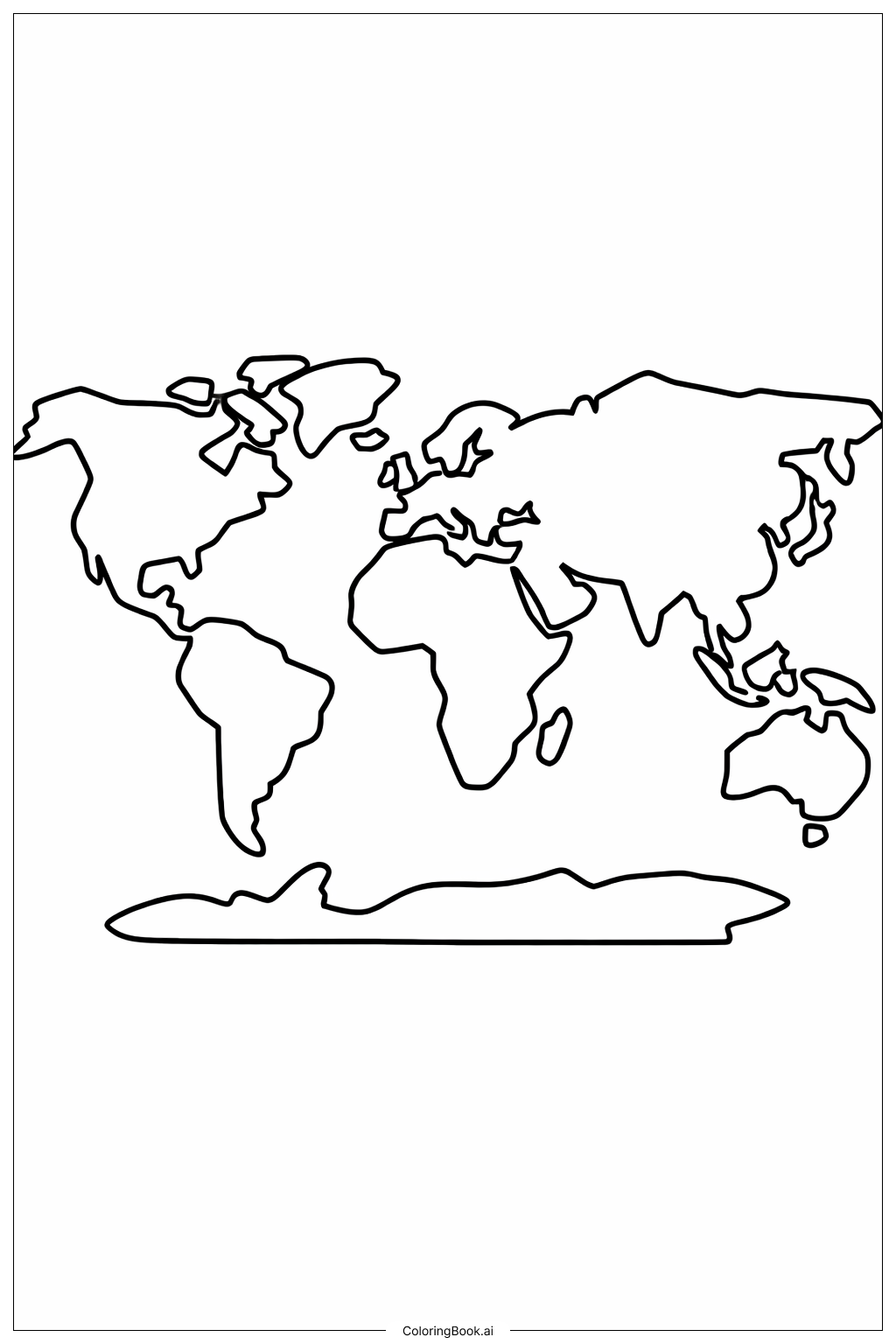
Coloring tips: How to color World Map with Big Continents coloring page well?
Use bright and different colors for each continent to make them stand out. For example, you could color North America blue, South America green, Africa orange, Asia red, Europe purple, Australia yellow, and Antarctica white or light blue. Use lighter shades for small islands and darker shades for big land areas. Try to stay inside the lines to make the map look neat. You can also use colored pencils or crayons for better control.
Coloring challenges: Which parts are difficult to color and need attention for World Map with Big Continents coloring page?
1. Some continents have complex shapes with many edges, which can be tricky to color within the lines. 2. The small islands around the continents might be hard to color because they are small and detailed. 3. It can be difficult to choose different colors that look good together and help tell the continents apart. 4. Coloring Antarctica evenly can be a challenge since its shape is long and flat. 5. Avoid coloring outside the map borders to keep the image clean and clear.
Benefits of coloring books: Advantages of drawing World Map with Big Continents coloring page
Coloring this world map helps improve focus and attention to detail. It teaches children about geography and where the continents are located. Using different colors enhances creativity and helps distinguish between different parts of the map. It also improves fine motor skills and hand-eye coordination. Overall, it’s fun and educational, making learning about the world enjoyable.