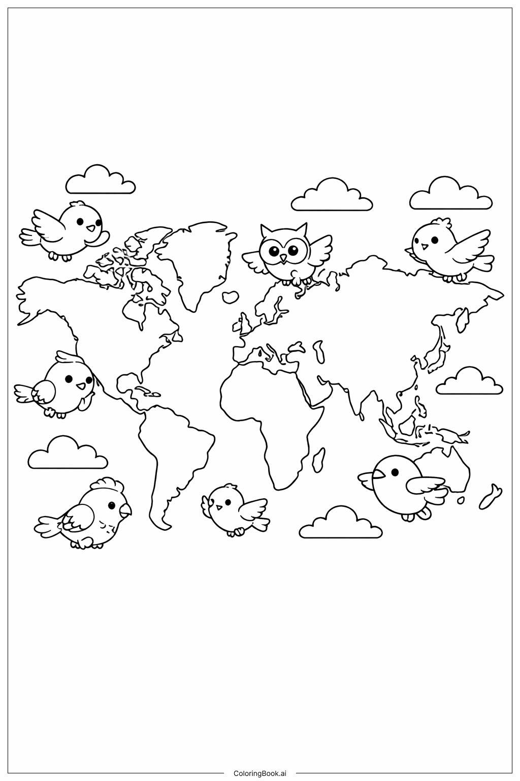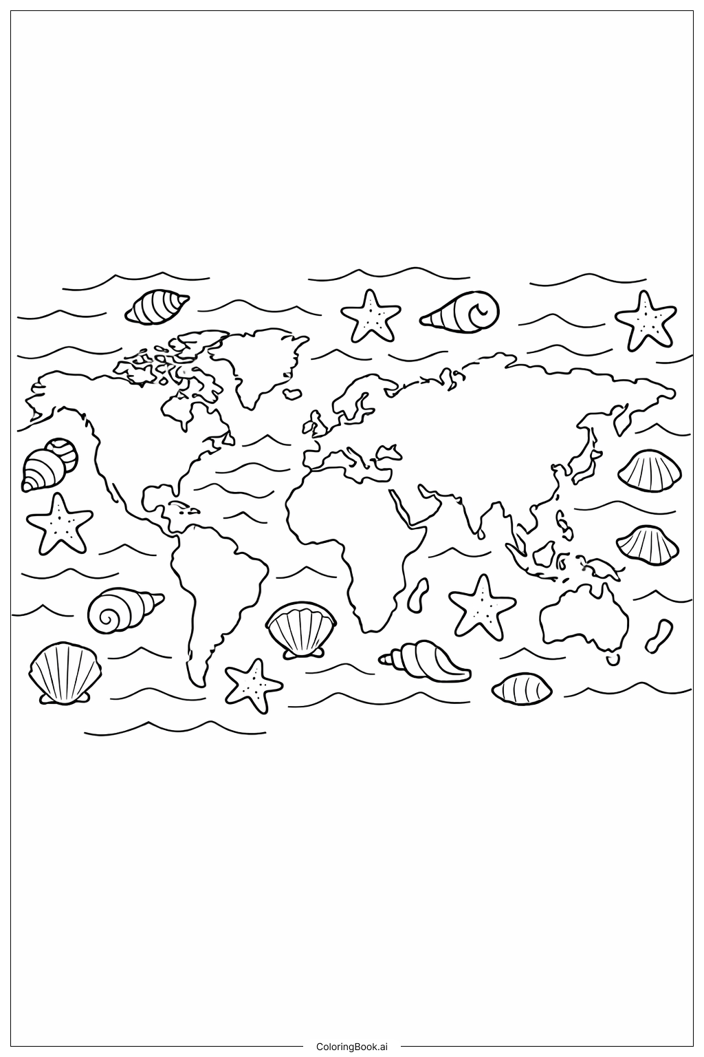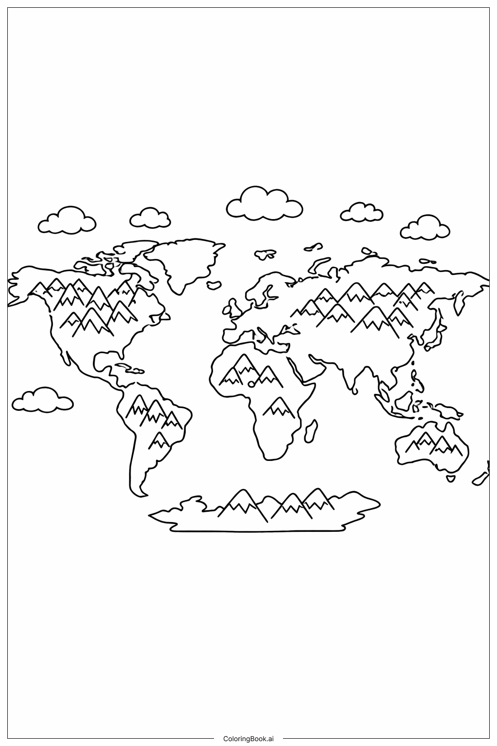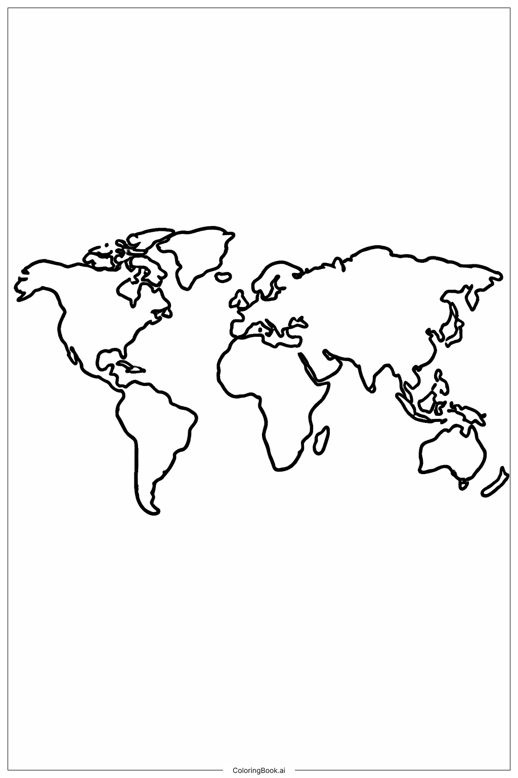
Coloring tips: How to color World Map with Big Borders coloring page well?
Use different colors for each continent to make the map bright and easy to understand. For example, green for South America, yellow for Africa, blue for North America, red for Europe, purple for Asia, orange for Australia, and white or light blue for Antarctica. Avoid coloring outside the borders to keep the map neat. You can also use light shading to show land differences or draw small symbols like trees or animals on the continents to make coloring more fun. Use crayons, markers, or colored pencils for best results.
Coloring challenges: Which parts are difficult to color and need attention for World Map with Big Borders coloring page?
1. Staying inside the thick borders can be tricky, especially around small or detailed coastlines like Europe and Southeast Asia.
2. The shapes of some continents, like Africa and South America, are unique and need careful coloring to keep the shape clear.
3. Small islands and peninsulas, such as Japan or parts of Indonesia, can be hard to color because they are tiny and close together.
4. Choosing colors for big areas without making them look flat or boring might take some creativity.
5. Avoiding mixing colors between neighboring continents while keeping each area distinct can be a challenge for younger colorers.
Benefits of coloring books: Advantages of drawing World Map with Big Borders coloring page
Coloring this world map helps improve hand-eye coordination and fine motor skills. It encourages learning about geography and continents in a fun way. Kids can develop creativity by choosing colors and patterns for different parts of the world. It also enhances focus and patience as they carefully color within the borders. Finally, it provides a sense of accomplishment and curiosity about our planet.