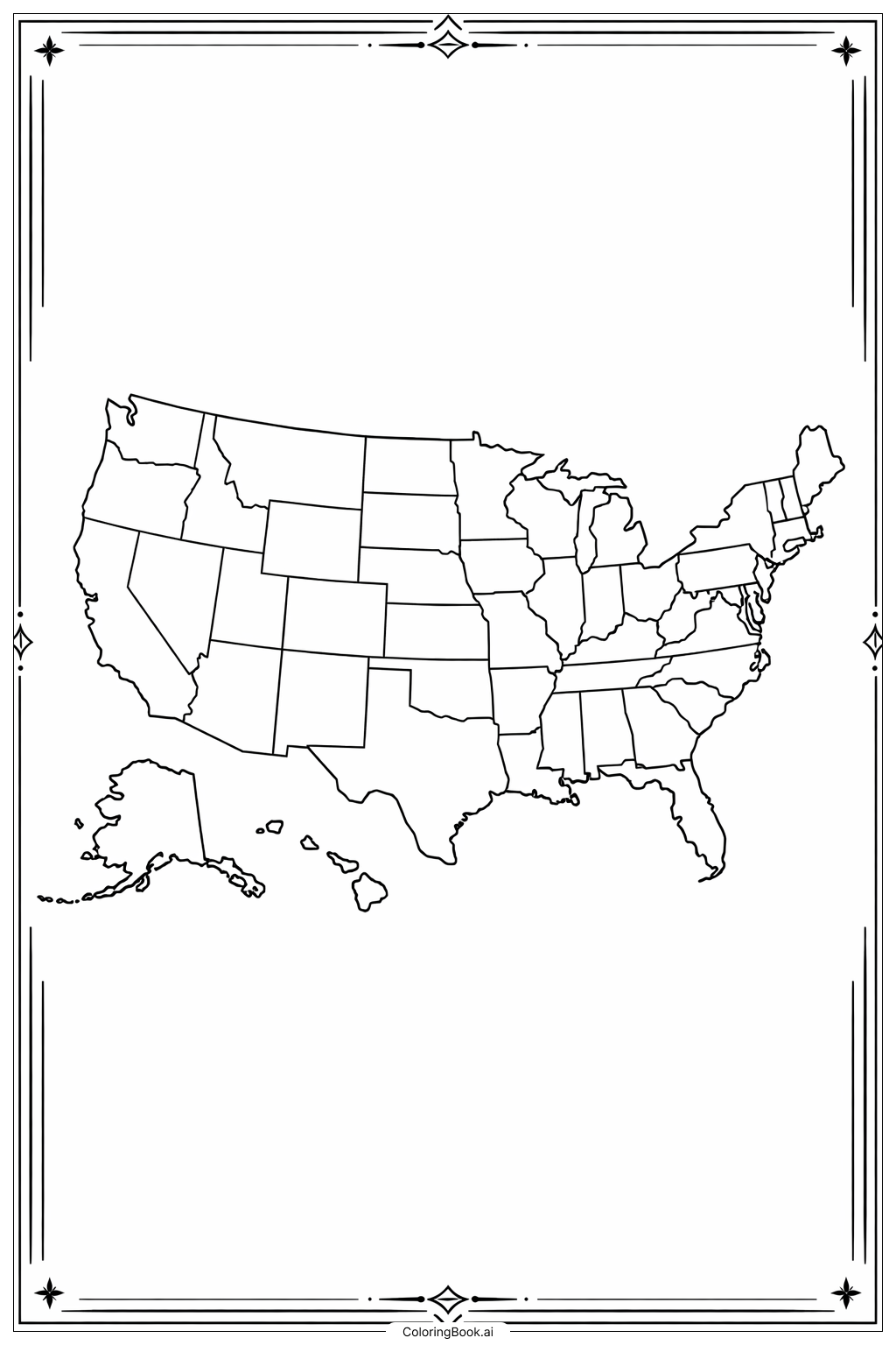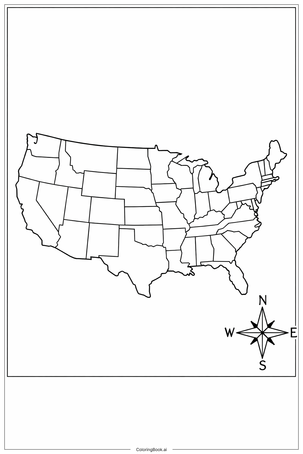
Coloring tips: How to color USA Map With Compass coloring page well?
When coloring this map, try to use different colors for each state to make them stand out. You can choose bright colors like red, blue, green, and yellow. Use a different shade for neighboring states to clearly see the borders. For the compass rose, choose colors that contrast with the states, such as black, dark blue, or dark red. Take your time to color carefully inside the lines and enjoy learning about the states as you color.
Coloring challenges: Which parts are difficult to color and need attention for USA Map With Compass coloring page?
1. Small states in the Northeast are very tiny and close together, making them hard to color without going over the lines.
2. Some states have irregular shapes with many edges, which can be tricky to fill in neatly.
3. The compass rose has thin and detailed lines needing careful coloring to avoid smudging.
4. Coloring so many different states with unique colors requires planning to avoid repeating colors in neighboring areas.
5. Staying inside the borders requires good hand control and attention to detail, which can be challenging for younger children.
Benefits of coloring books: Advantages of drawing USA Map With Compass coloring page
Coloring this map helps children learn about US geography and state shapes. It improves fine motor skills as they carefully color inside the lines. Using different colors for each state helps with color recognition and planning skills. The activity encourages focus and patience, especially with small, detailed areas to color. Additionally, it makes learning fun and interactive, sparking interest in the country’s layout and geography.