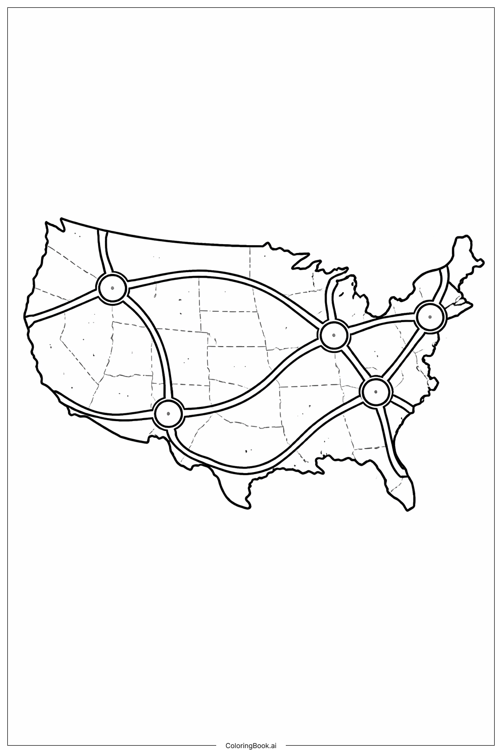
Coloring tips: How to color USA Map With Roads coloring page well?
Use different colors to fill the roads and the state areas. You can choose bright colors for the highways to make them stand out. Try coloring each state a different shade to see the borders clearly. Use light colors for the background areas so the roads and cities become the focus. You can also color the big circles in bold colors to show the main road hubs. Take your time to color inside the lines carefully for a neat look. Don't forget to use your creativity and colors you like the most!
Coloring challenges: Which parts are difficult to color and need attention for USA Map With Roads coloring page?
1. The highways are wide and have multiple lines, so it might be tricky to color them evenly without going outside the lines.
2. The states have many borders shown with thin lines, which can be hard to color separately without mixing colors.
3. The road hubs (big circles) need bold colors but inside a small area, so careful coloring is required.
4. Some roads curve and intersect, making it challenging to keep colors neat on overlapping parts.
5. Balancing bright highway colors with softer colors for states can be hard to decide for some kids.
Benefits of coloring books: Advantages of drawing USA Map With Roads coloring page
Coloring this map can help improve hand-eye coordination and fine motor skills. It teaches children about the geography of the USA and how cities are connected by roads. Coloring different states encourages creativity and helps kids recognize shapes and borders. It also introduces them to basic map reading skills while having fun. Using different colors strengthens color recognition and decision making. Overall, the activity combines education and entertainment in one enjoyable task.