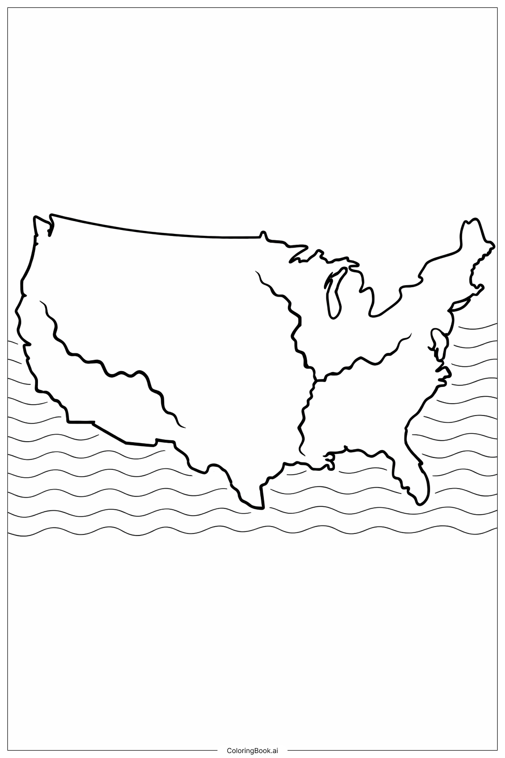
Coloring tips: How to color USA Map With Rivers coloring page well?
Use different shades of blue to color the rivers so they stand out from the land. For the land area, kids can use green, brown, or yellow to show fields, forests, or deserts. You can also add some light blue or turquoise to the wavy lines at the bottom to indicate the ocean or water. Try using soft or bright colors to make the map attractive. To add more interest, kids can color the background with light colors like sky blue or pastel tones. Using crayons, colored pencils, or markers will work well for this picture. Remember to color slowly and stay inside the lines for the best result!
Coloring challenges: Which parts are difficult to color and need attention for USA Map With Rivers coloring page?
1. The rivers have thin and winding lines. It can be hard to color them neatly without going outside the lines. 2. Some river lines are close together or near the map's edges, which requires patience and a steady hand. 3. The shape of the USA has many curves and corners, especially around the east and west coasts. Coloring along these edges carefully can be challenging. 4. The wavy lines representing water near the bottom might be confusing when choosing colors, because they are close and look similar. 5. Keeping the rivers and ocean looking different from the land areas needs attention to color choice and neat coloring.
Benefits of coloring books: Advantages of drawing USA Map With Rivers coloring page
Coloring this map helps children learn about the geography of the United States, including the path of major rivers. It encourages focus and fine motor skills as kids carefully color within the lines. Using different colors for rivers and land improves their understanding of natural features. It can also boost creativity when they choose colors and how to shade the map. This activity is educational and fun, helping children connect with nature and geography in an interactive way.