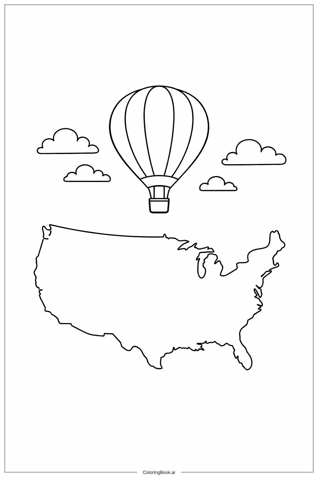
Coloring tips: How to color USA Map With Balloon coloring page well?
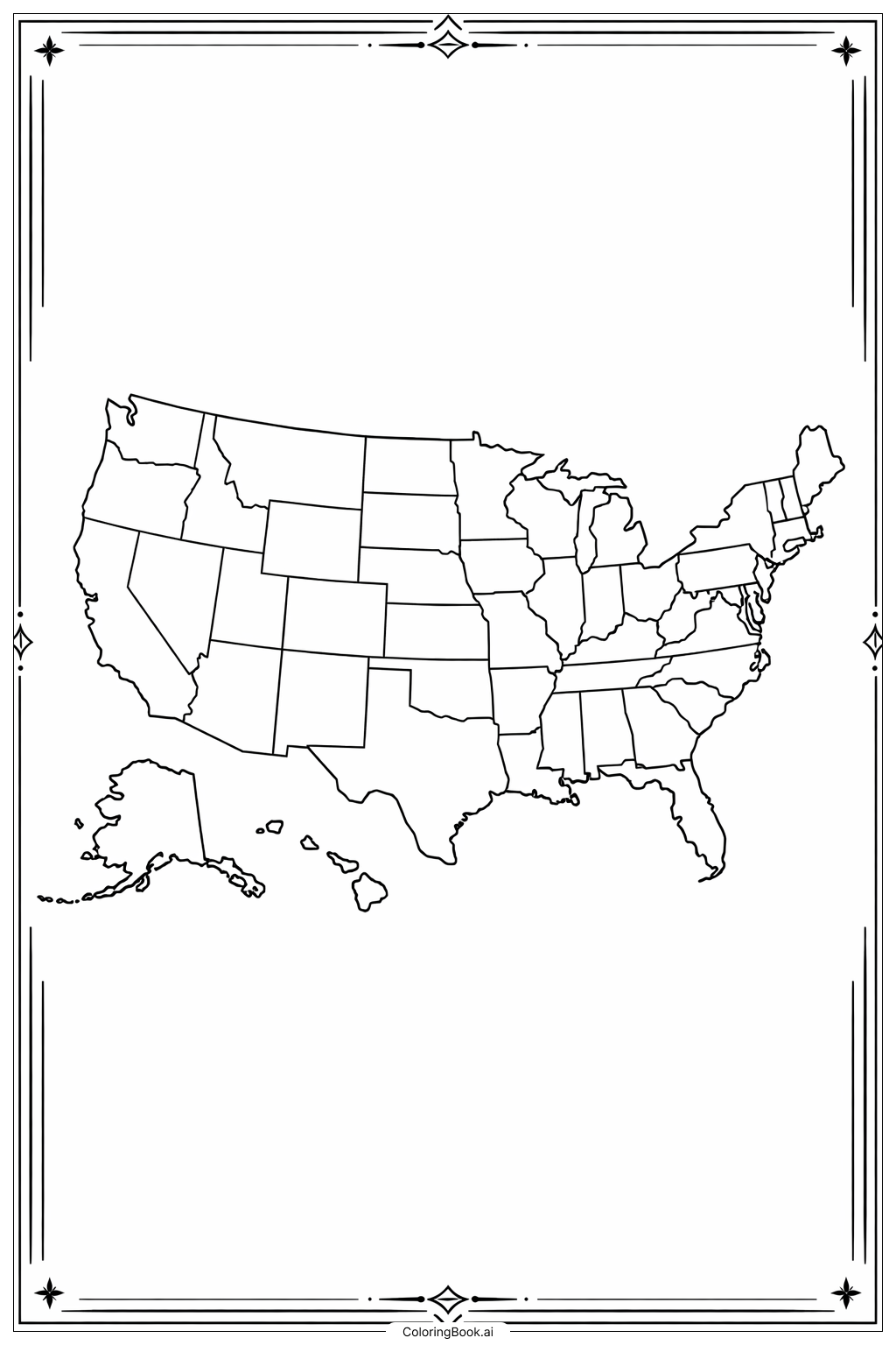
Start by choosing a fun set of colored pencils, crayons, or markers with a good variety of colors. Since the map has 50 states, try to pick at least four to six different colors so that no two neighboring states share the same color. This will make your map easy to read and look really colorful!
For the large states like Texas, Alaska, and California, use broad, smooth strokes to fill in the space evenly. For the tiny states in the northeast, switch to a sharper pencil tip or a fine-point marker to stay within the lines.
The balloon is a great chance to get creative! Try coloring it in a bright, cheerful color like red, yellow, or sky blue. You can even add a little white highlight spot to make it look shiny and round.
Consider using cool colors like blues and greens for coastal states and warm colors like oranges and reds for inland states. Or you can go wild and make every state a different color of the rainbow. There is no wrong way to color this map. Have fun and make it your own masterpiece!
Coloring challenges: Which parts are difficult to color and need attention for USA Map With Balloon coloring page?
• State Border Lines: The USA map contains 50 individual states, each separated by thin border lines. Staying within these small borders requires a steady hand and careful attention. Younger children may find it tricky to color inside such narrow sections without crossing into neighboring states. Using thin-tipped colored pencils or fine markers will help greatly.
• Small Northeastern States: The northeastern region of the United States has many small, tightly packed states such as Rhode Island, Connecticut, Delaware, and New Jersey. These tiny areas are especially difficult to color neatly. The limited space makes it hard to apply color evenly without bleeding into adjacent states. Extra patience and a sharpened pencil tip are essential here.
• Balloon Details: The balloon featured in the image adds a fun decorative element, but it also requires careful coloring. The rounded shape of the balloon, along with any string or ribbon details, needs smooth, even color application. Blending or shading the balloon surface to give it a shiny or three-dimensional look can be challenging for beginners.
• Color Planning and Variety: Choosing a color scheme that clearly distinguishes each state from its neighbors is a creative challenge. If two bordering states are colored the same, the map becomes hard to read. Planning ahead and selecting a varied palette of at least four to five colors ensures the map looks clear and visually appealing.
• Consistent Pressure and Neatness: Applying even pressure across large states like Texas, California, and Alaska helps avoid patchy or uneven coloring. Maintaining consistency throughout the entire map takes time and practice, but the finished result is very rewarding.
Benefits of coloring books: Advantages of drawing USA Map With Balloon coloring page
Coloring this USA Map With Balloon page offers wonderful benefits for children of all ages. It helps kids learn the geography of the United States in a fun and engaging way. As they color each state, they become more familiar with the shape and location of different regions across the country.
This activity builds fine motor skills and hand-eye coordination as children carefully stay within the lines of each state border. It also encourages patience and focus, helping kids develop concentration skills that are useful in school and everyday life.
The creative freedom of choosing colors for each state sparks imagination and artistic expression. Children can invent their own color-coding system, making the map uniquely their own. The balloon element adds a playful, joyful touch that makes the experience even more exciting.
Coloring maps also introduces early concepts of spatial awareness and scale. Kids begin to understand how large or small different states are compared to one another. This page is a perfect blend of education and creativity, making learning about the USA an enjoyable adventure for every child.