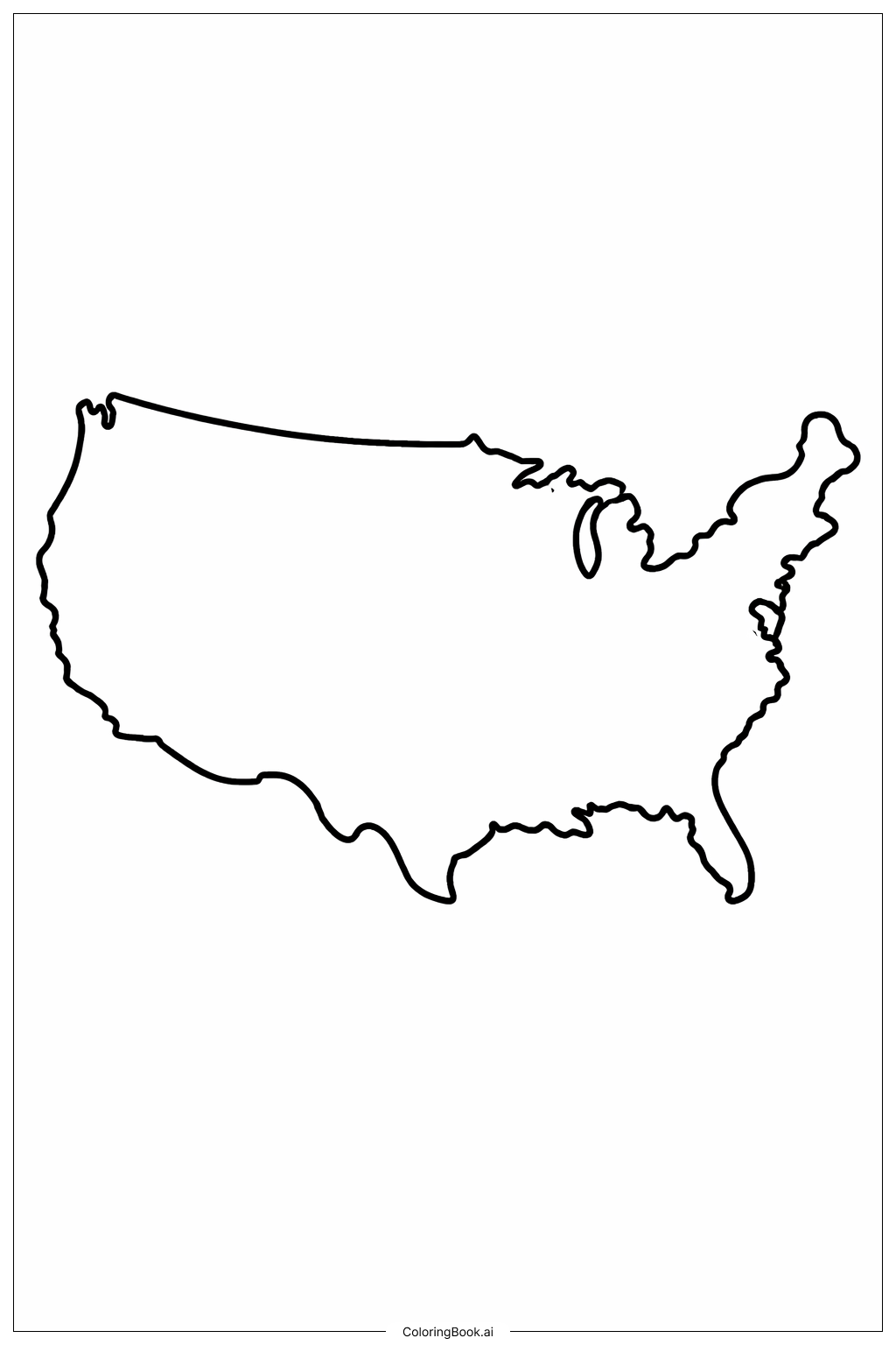
Coloring tips: How to color USA Map Simple Coastline coloring page well?
Try using different shades of blue to color the water areas like the Atlantic Ocean on the right, the Pacific Ocean on the left, and the Gulf of Mexico at the bottom. For the land, you can use green, brown, or yellow to show different types of areas like forests, deserts, or fields. You can also add small stars or dots to mark big cities if you want. Use bright colors to make the map lively and fun. Remember to stay inside the lines and color slowly to make it neat.
Coloring challenges: Which parts are difficult to color and need attention for USA Map Simple Coastline coloring page?
1. The coastline has many curves and small details that can be tricky to color without going outside the lines. 2. The area around the Great Lakes has some small shapes that need careful attention. 3. It might be hard to decide which colors to use for the land and water to make the map clear and interesting. 4. Coloring inside thin lines softly can be challenging for younger children. 5. The long stretches of border along the west coast and the east coast require patience and steady coloring.
Benefits of coloring books: Advantages of drawing USA Map Simple Coastline coloring page
Coloring this map helps children learn about the shape and geography of the USA. It improves hand-eye coordination and fine motor skills as they carefully color along the edges. Coloring different areas helps kids understand the difference between land and water. It also encourages creativity when choosing colors. Overall, it is a fun and educational activity that makes learning geography more engaging and interactive.