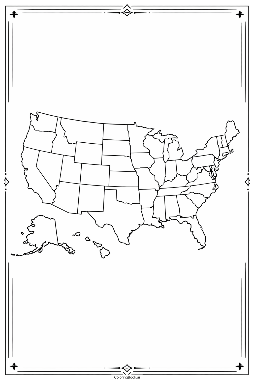
Coloring tips: How to color USA Map Large States coloring page well?
Use different bright colors for each state to make them stand out. For example, color Alaska blue, Texas red, California green, Montana yellow, and Florida orange. You can also add patterns like stripes or dots if you want to be creative. Try to stay within the lines to make the states look neat. Use crayons, colored pencils, or markers depending on your favorite tool. Remember to color in smooth strokes for an even look. Have fun and don’t be afraid to mix colors or use your imagination!
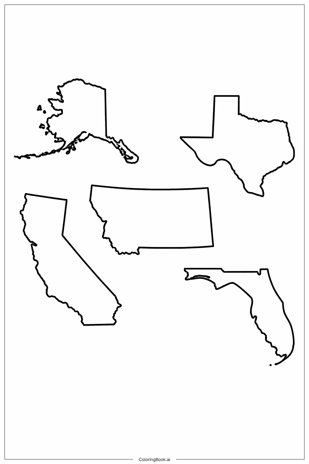
Coloring challenges: Which parts are difficult to color and need attention for USA Map Large States coloring page?
1. The outlines of some states, like Alaska, have many small and detailed edges. It can be hard to color inside these tiny spaces without going outside the lines.
2. Texas has a lot of sharp corners and unique curves that require careful coloring to look neat.
3. California’s long and thin shape means you need to color slowly to stay inside the borders.
4. Montana’s shape has both straight and wavy lines, which might be tricky to color evenly.
5. Florida's curved coastlines can be difficult to fill in without overlapping outside the lines, especially around the peninsula area.
Benefits of coloring books: Advantages of drawing USA Map Large States coloring page
Coloring this page helps children learn the shapes of large US states. It improves fine motor skills by practicing careful coloring inside the lines. It also enhances focus and patience as kids work on detailed areas. Coloring states in different colors can make learning geography fun and memorable. It encourages creativity and can be a great way to start conversations about each state and its unique features.