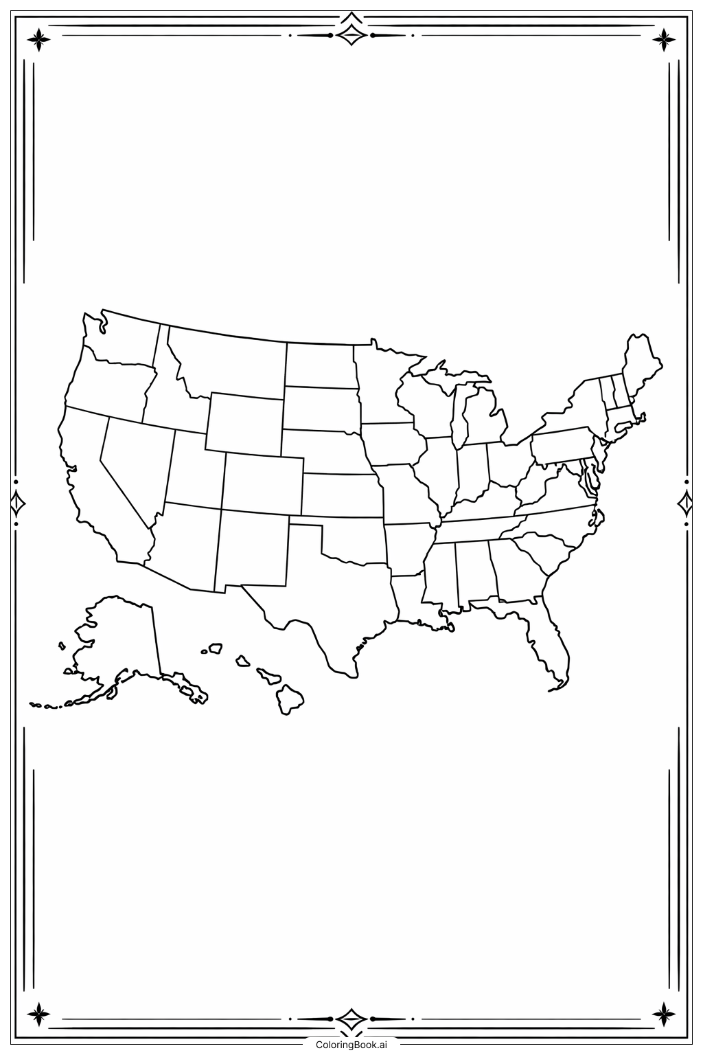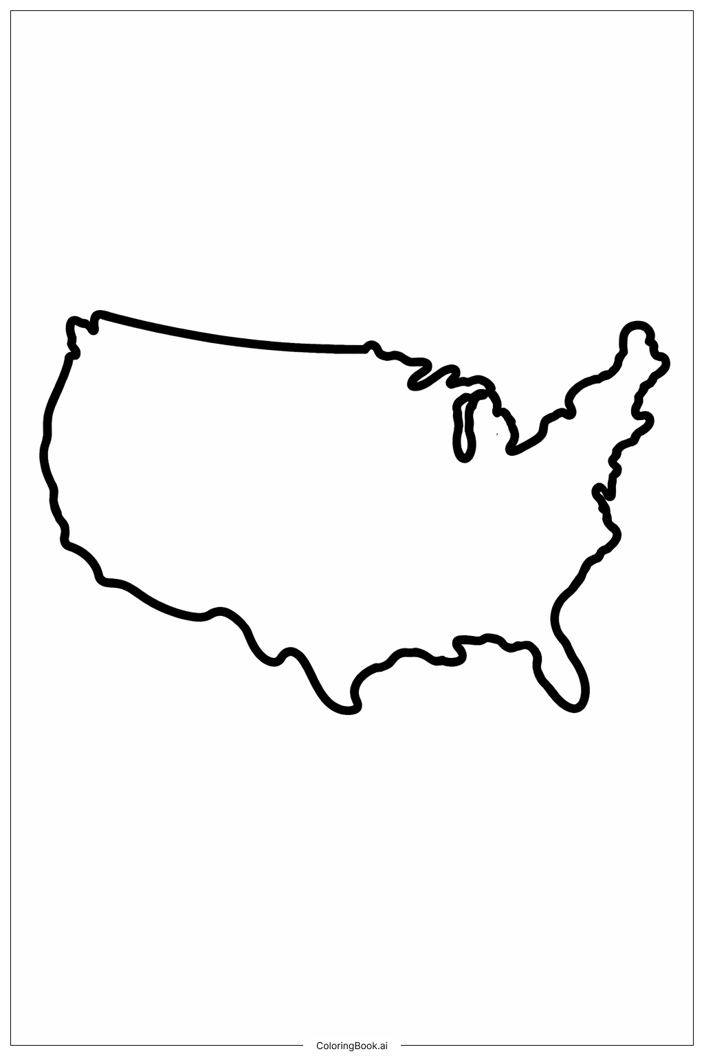
Coloring tips: How to color USA Map Big Land coloring page well?
Use different colors to fill the big areas of the map. You can choose blue for water around the country, like the ocean and the lakes, and green for land. Try to color inside the lines carefully to make the shape clear. You can also use a light shade to show the borders. To make it more fun, you can add small drawings or symbols that represent famous landmarks or animals found in the USA. For example, a yellow star for the capital city, or a brown bear in the west. Remember to use bright colors and take your time coloring to enjoy the process.
Coloring challenges: Which parts are difficult to color and need attention for USA Map Big Land coloring page?
1. The outline has many curves and small details, especially around the east coast and the Great Lakes, which can be tricky to color neatly.
2. Staying within the borders can be challenging for younger children because the lines are not straight.
3. The large empty space inside the map may seem simple, but it may be hard to decide how to color it meaningfully since there are no state lines or features.
4. The size of the map requires careful coloring to avoid smudges or uneven coloring with crayons or markers.
5. Some areas like Florida and the Great Lakes have narrow parts, which need extra attention to color accurately without crossing the borders.
Benefits of coloring books: Advantages of drawing USA Map Big Land coloring page
Coloring this USA map helps children learn the shape and location of the country. It improves hand-eye coordination and fine motor skills as they color within the lines. The activity encourages creativity because children can choose different colors and add their own decorations. It also helps with spatial awareness, as kids understand the size and outline of the USA better. Finally, coloring maps supports early learning about geography in a fun and engaging way.