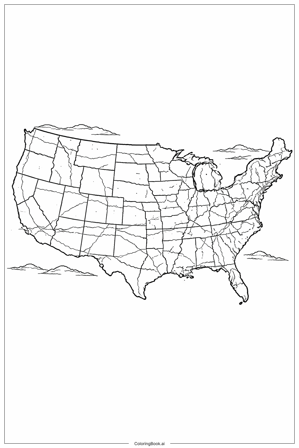
Coloring tips: How to color Map Of United States With Simple Roads And Rivers coloring page well?
Use different colors for each state to make them stand out. Choose light colors for rivers to show water clearly. Roads can be colored in gray or black to keep them simple. Use green and brown to mark any natural areas or mountains near rivers. Try coloring neighboring states in different shades so it’s easy to see the borders. Keep the colors inside the lines to make the map neat and clear.
Coloring challenges: Which parts are difficult to color and need attention for Map Of United States With Simple Roads And Rivers coloring page?
1. The small size of some states may make it hard to color inside the lines, especially in the northeastern part.
2. The thin lines representing roads and rivers need careful coloring to avoid mixing colors.
3. Differentiating between roads and rivers can be tricky since they are close and thin.
4. Large areas have many small borders, which requires patience to color all neatly.
5. Coloring natural features like rivers with a right shade of blue can be difficult to keep realistic.
Benefits of coloring books: Advantages of drawing Map Of United States With Simple Roads And Rivers coloring page
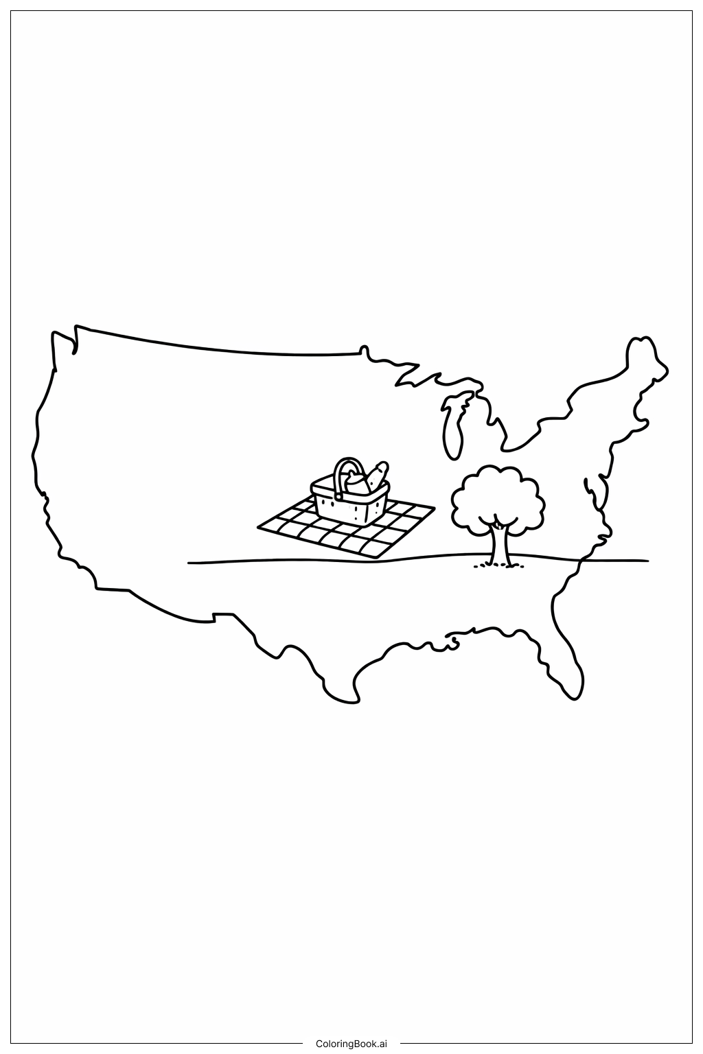
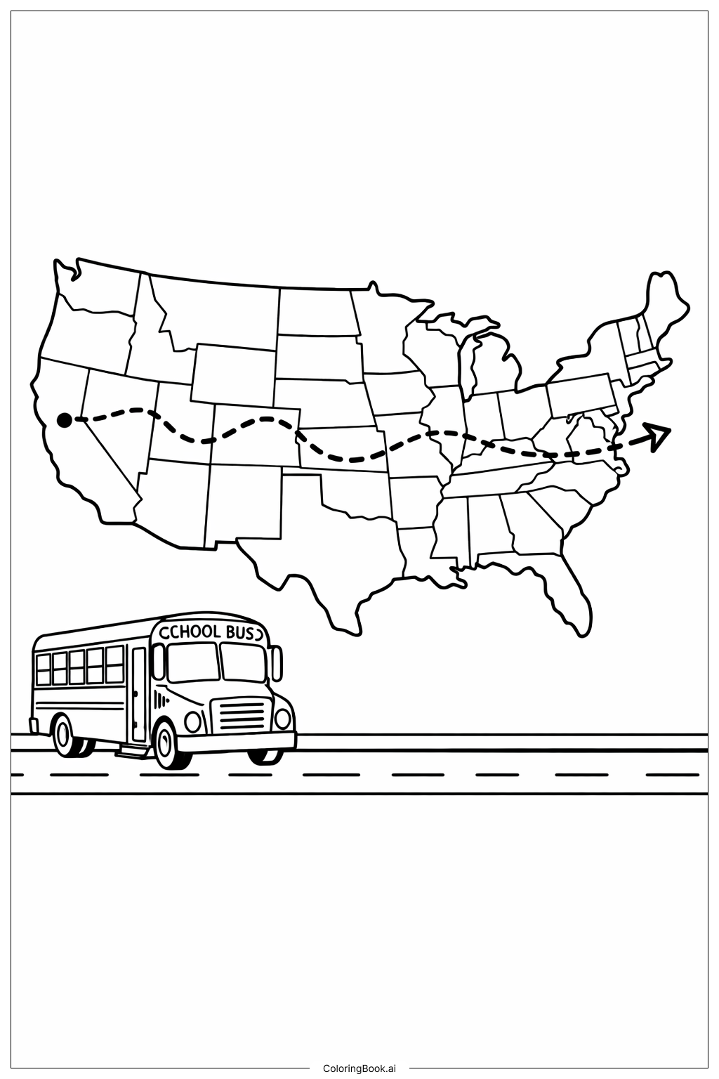
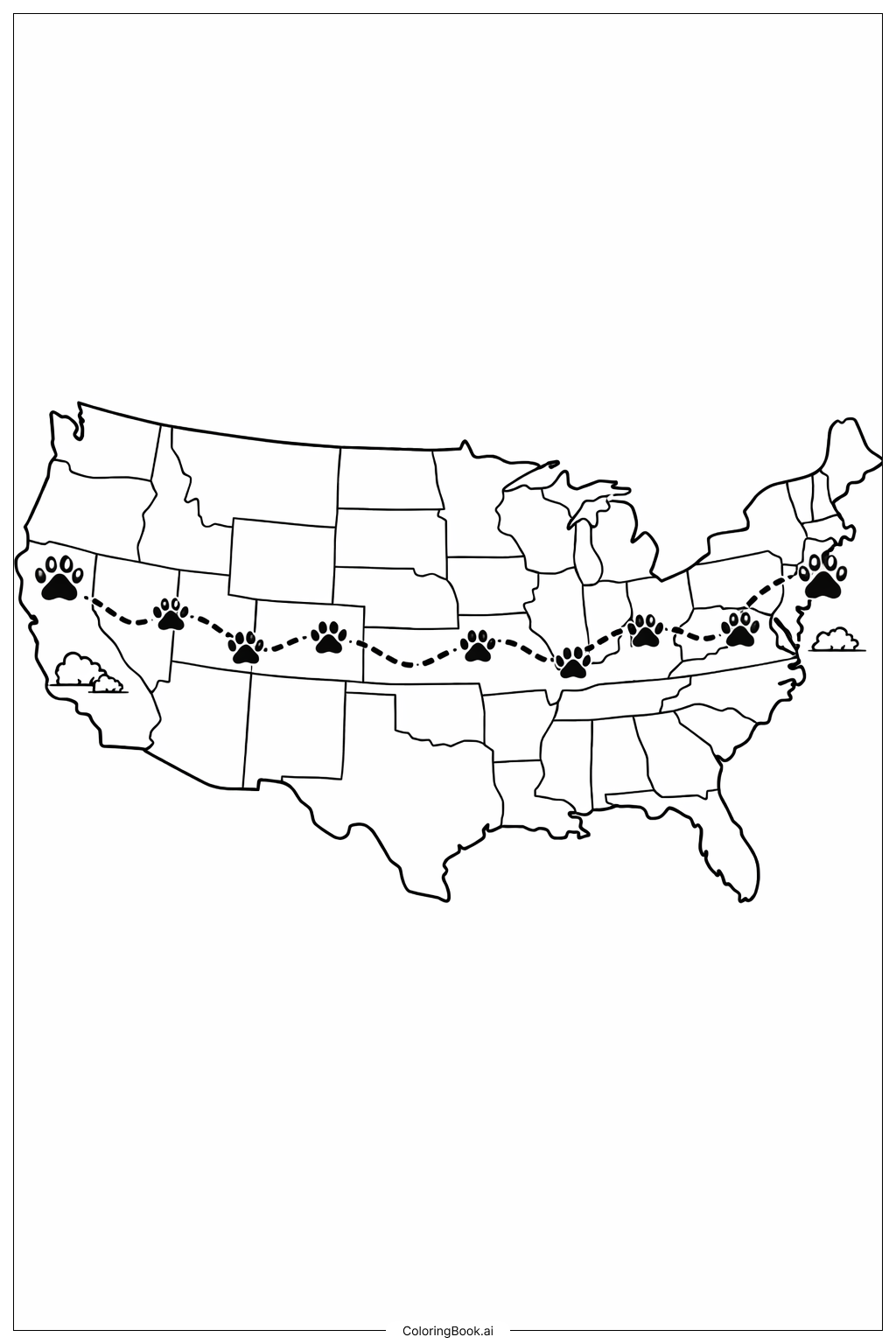
Coloring this map helps children learn about U.S. geography and state borders. It improves their fine motor skills by coloring inside small areas. Kids get to understand how roads and rivers connect different regions. Coloring helps to boost concentration and patience. It also encourages exploring natural and man-made features on a map. This activity makes learning about the United States fun and interactive.