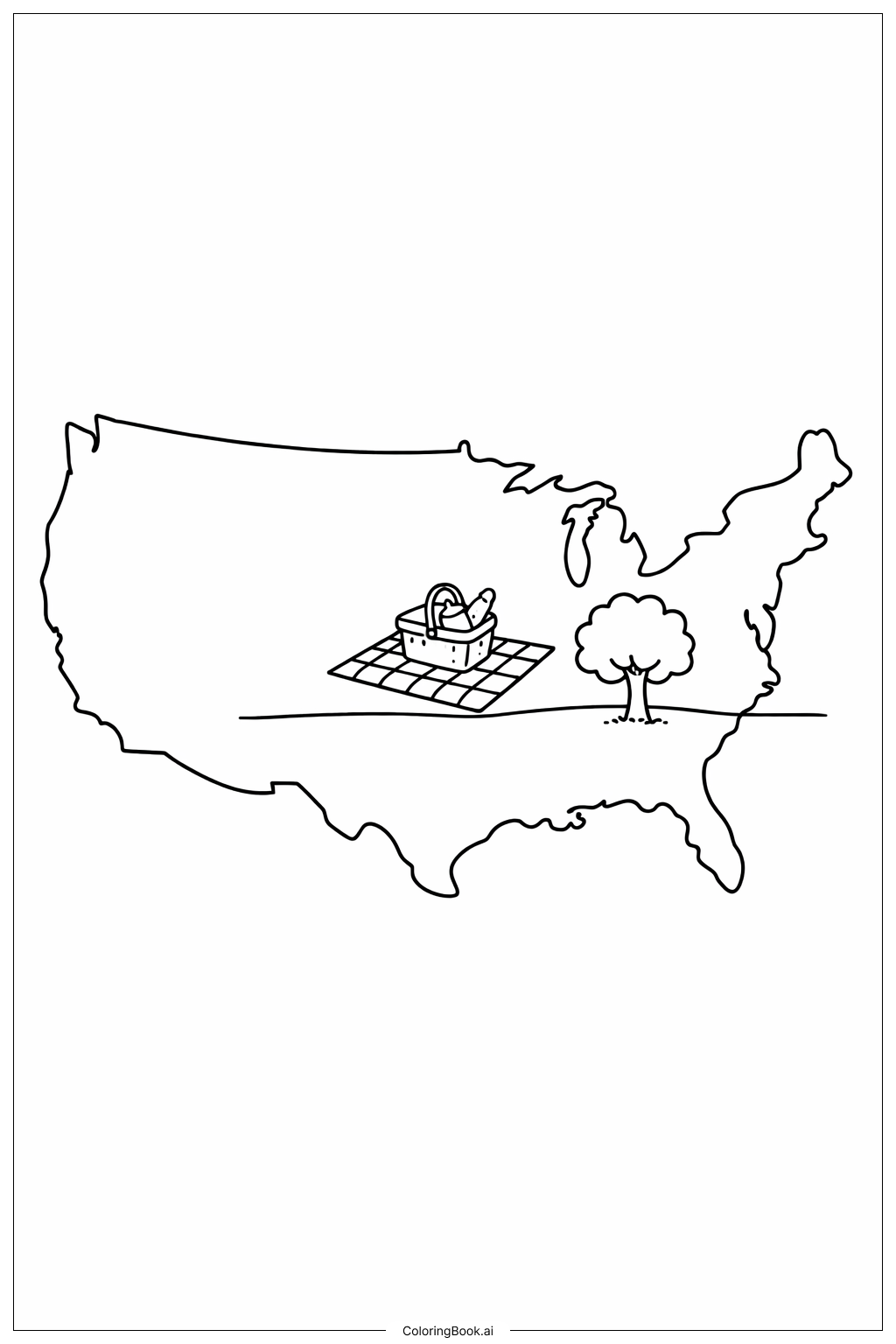
Coloring tips: How to color Map Of United States With Large Rivers coloring page well?
Use blue shades to color the rivers to make them stand out against the land. You can use green, brown, or yellow for different parts of the land to show forests, mountains, or plains. Try using lighter colors for big states and darker shades for smaller ones. You can also color the borders of states with a different color to highlight them. Adding some shading or patterns to the land can make the map more interesting. Remember to color carefully within the lines, especially along the rivers, to keep the map neat and clear. Use bright and fun colors to make learning geography more exciting.
Coloring challenges: Which parts are difficult to color and need attention for Map Of United States With Large Rivers coloring page?
1. Coloring the thin and winding rivers can be hard because you need to stay inside the lines without smudging. 2. The state borders sometimes look very close to the rivers, so it takes careful coloring to keep them separate and clear. 3. The map has areas with smaller details that need precise coloring to show the rivers well. 4. Choosing different colors for land can be tricky since large areas need to look balanced and not too plain. 5. Keeping the rivers as one shade of blue without mixing too many colors is important for clarity but can be challenging.
Benefits of coloring books: Advantages of drawing Map Of United States With Large Rivers coloring page
Coloring this map helps kids learn about US geography and the important rivers that shape the land. It improves their focus and fine motor skills by coloring inside small lines. It also encourages curiosity about nature and how rivers connect different parts of the country. This activity combines creativity and education, making learning fun. By coloring the map, children can better remember the geography of the US and develop patience as they complete the details carefully.